Best time to go to Flagstaff (Route 66) Average weather of Flagstaff (Route 66), United States
When is the best time to go to Flagstaff (Route 66)?
When is the best time to go to Flagstaff (Route 66)? Here's some information to help you in your decision:
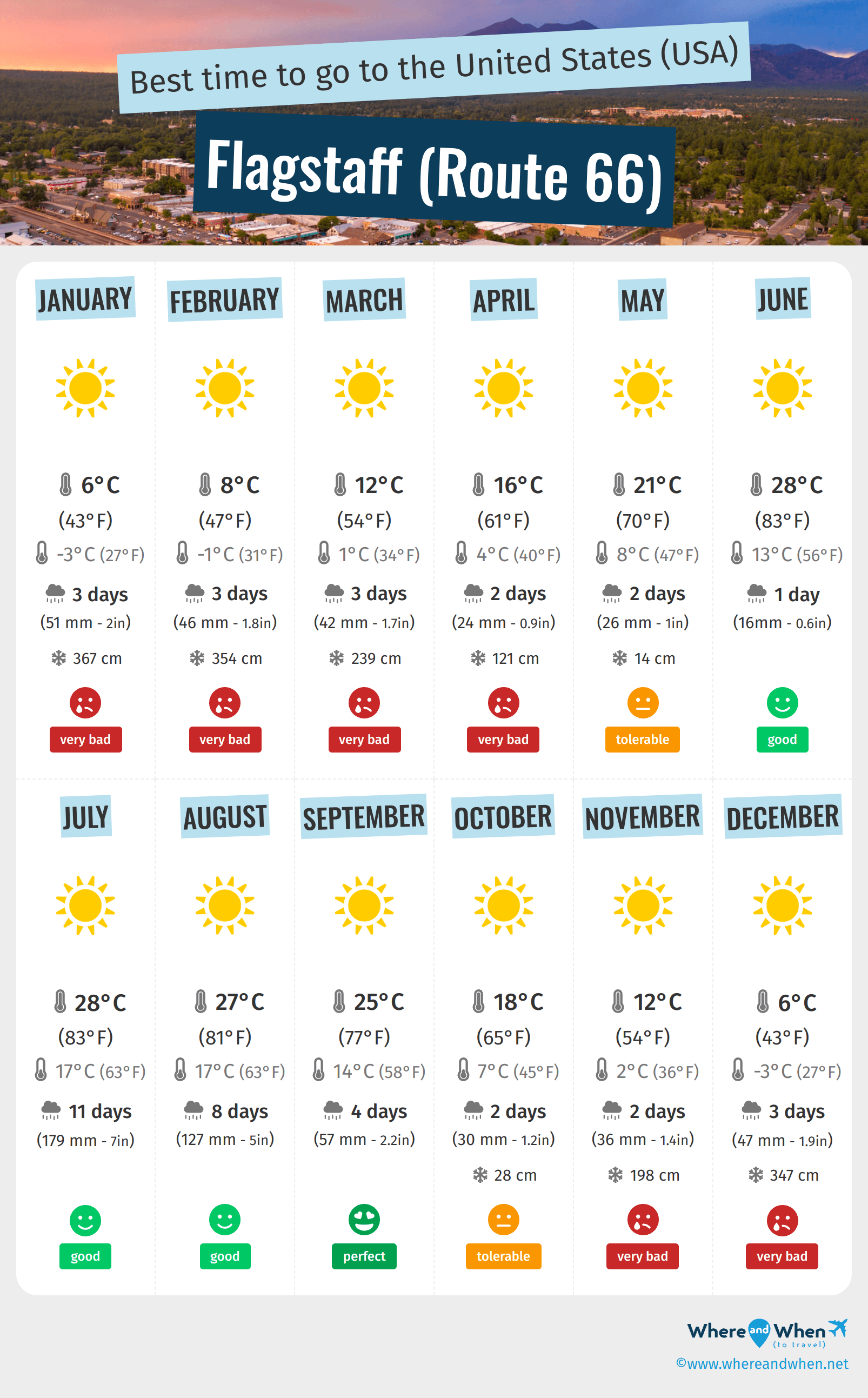
- The best months for good weather in Flagstaff (Route 66) are June, July, August and September
- On average, the warmest months are June, July and August
- The coldest months are January and December
- July is the rainiest month
Annual weather in Flagstaff (Route 66)
Weather details in Flagstaff (Route 66) month by month
Weather and climate in Flagstaff (Route 66)
Flagstaff (Route 66) enjoys a warm-summer Mediterranean climate in accordance with the Köppen-Geiger classification. The yearly average maximum temperature in Flagstaff (Route 66) is 63°F (ranging from 43°F in january to 83°F in july). Annual rainfall is 26.7in, with a minimum of 0.6in in june and a maximum of 7in in july.
- From january to april the climate is very bad. the thermometer goes up to 61°F°C and it rains about 0.9in each month.
- In the month of may the climate is correct. It is for example 70°F as maximum temperature in may and it rains about 5% of the time in may.
- Between the months of june and september the climate is good. At lunchtime, it's 74°F in average and it rains about 12% of the time in september.
- In october the climate is just OK. The temperature rises to 65°F and, in october, 2 days of rain are expected.
- Between november and december the climate is very unfavorable. The record temperature this month is 63°F and you can expect to have 1.9in of rainfall/month during this period.
 : Le mont Humphreys surplombe Flagstaff")
Charts: temperature and rainfall in Flagstaff (Route 66)
In the charts below, you can see the following seasonal norms for the city of Flagstaff (Route 66): the minimum and maximum outdoor temperature, the risk and amount of monthly rainfall, daily average sunshine, and relative humidity for each month of the year.
Outside temperature
Precipitation (rainfall)
Daily sunshine hours
Humidity
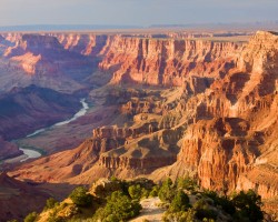
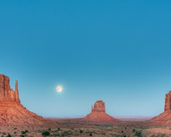
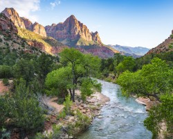
Other cities and places near Flagstaff (Route 66)


Best time to go to the United States (USA)
Chargement en cours
Legend:
 Flagstaff (Route 66)
 other locations
Flagstaff (Route 66)
other locations